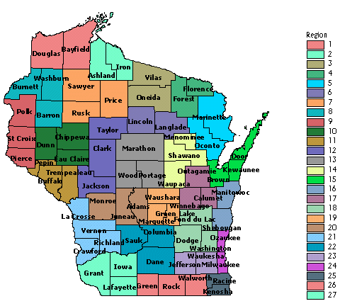
Click on a region of the map to obtain Quad Summary Maps for the region.
ArcView software courtesy ESRI Conservation Program. County GIS data courtesy Wisconsin DNR.
Main Page
|
Project Purpose
|
About this Site
|
Staff
|
Coordinators
|
Atlasers
|
Contributors
Survey Areas
|
Breeding Codes
|
Habitat Codes
|
Abundance
|
Atlas Projects
|
Bird Monitoring Projects
Tally Data
|
State Maps
|
Region Maps
|
Species Maps
|
Species Lists
|
Image Library
|
Audio Library