Point au Sable
For the Birds
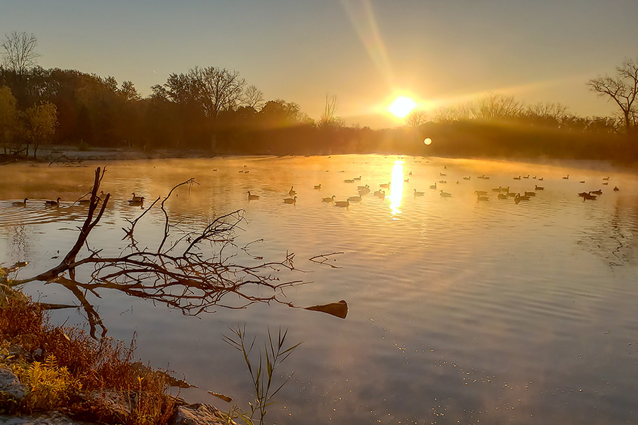
In just one year, more than 200 bird species pay us a visit.
Nestled on a prominent peninsula along the east shore of lower Green Bay, Point au Sable has remained relatively undeveloped, thanks to its history as a private duck hunting camp since the turn of the century. This unique location is one of the few unmodified estuarine wetlands in the entire Lake Michigan ecosystem. Each spring and fall, thousands of migratory waterfowl, gulls, terns, shorebirds, and passerines make their way through Point au Sable on their journey south.
Public Access
The Point au Sable Tract is accessible only by water or with a guide who has permission to cross the private land. The entrance from Nicolet Drive is private and cannot be used to visit the Point.
Parking
Parking for visitors is possible along Point Lane, where trails loop through the lowland hardwood forest near the central and western part of the tract.
Hiking
Hiking is allowed on trails. Access to the Sedge Meadow Tract is possible through the wet forest / shrub woodland south of the trail. Dogs, bicycles and motorized vehicles are prohibited.
What We're Researching
Point au Sable is an important stopover for migratory birds and provides habitat for a diversity of breeding species, including one of the highest densities of woodpeckers reported in North America. Ongoing research and monitoring will help guide policies that ensure long-term protection of Point au Sable and other coastal wetlands in the Great Lakes.
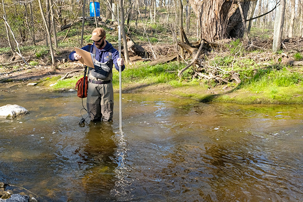
Water Level Monitoring
Results of computerized water-level monitoring stations at the outlet of Wequiock Creek show a remarkably changeable system, with water levels rising and falling as much as 50 cm within an hour. The lagoon, on the other hand, exhibits much more gradual water level changes, although it receives "pulses" of water periodically throughout the year.
Water level changes drastically affect the vegetation in marshes on Point au Sable and other coastal wetlands. During periods of persistent high water, an open water complex develops across most of the low areas. In years of extremely low water, large areas of mud flat are exposed in the lagoon and marsh. Annuals such as soft-stemmed bullrush (Schoenoplectus tabernaemontani) recolonize the exposed flats and become a dominant feature of the wetland vegetation. As the water levels return to normal, the marsh will slowly succeed back to cattails (Typha spp.).
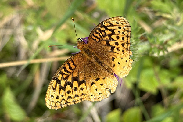
Inventory of Plants & Animals
Point au Sable encompasses a variety of terrestrial and aquatic habitats. The most extensive natural communities represented today are floodplain forest, shrub-carr, sedge meadow, emergent marsh, open water and Great Lakes beach. This variety in habitats also means it is home to a variety of animals and plants. Amphibians, reptiles, fish and wetland plants have all been surveyed.
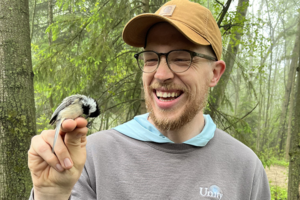
Bird Surveys
Bird surveys are conducted at permanent census locations that include forest, wetland, shrub and shoreline habitats. Survey points are visited 2 to 3 times each week during the spring and fall migration periods, and approximately weekly during the breeding season and winter. Highlights include American White Pelican, Peregrine Falcon, Snowy Egret, Least Bittern and, during migration, virtually all of the migrant warblers, thrushes and flycatchers found in northeastern Wisconsin.

Meet Your Guide
Meet Andrew LaPlant, UW-Green Bay alum and Natural Areas Manager. In addition to leading ecological restoration efforts, he also facilitates outdoor classroom experiences for students. If you have questions about Point Au Sable, he can help!