Submerged Aquatic Plant Surveys
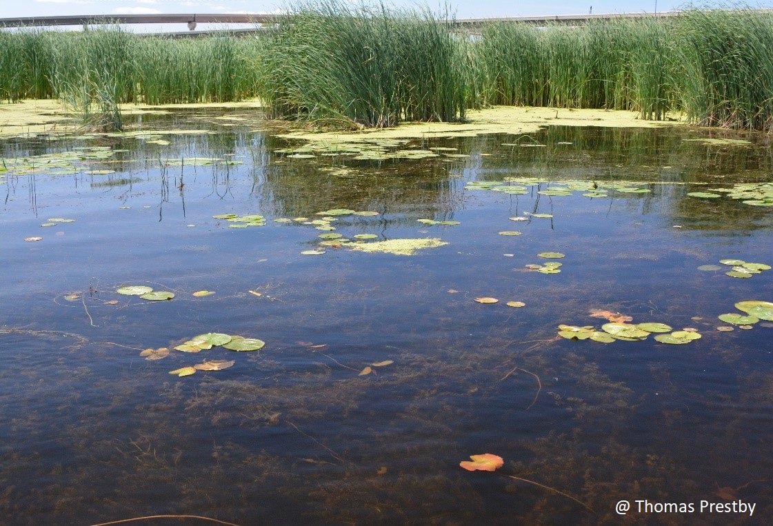
The 2015 habitat mapping and 2016 plant biodiversity hotspot efforts generated a lot of information on plant communities throughout the Lower Green Bay and Fox River Area of Concern (LGBFR AOC); however, most field visits targeted terrestrial habitats. Therefore, the UW-Green Bay project team launched a third field effort in July 2017, in which Amy Wolf and former UW-Green Bay Gary A. Fewless Herbarium Curator, James Horn, mapped and surveyed submerged aquatic vegetation (SAV) throughout the LGBFR AOC with the assistance of student field technicians via boat.
Plants that could be easily identified in the field were recorded on a data form, while others were collected and placed in labeled (location number and date) plastic zip-lock bags with water. Specimens were separated, identified, and processed by Horn at the University of Wisconsin-Green Bay Gary A. Fewless Herbarium. SAV beds were later mapped in ArcGIS and added to the 2015 habitat shapefile.
SAV was widespread on the west shore extending from Duck Creek to Dead Horse Bay, but sparse and patchy on the east shore, except for Point au Sable. Several locations stand out as SAV “hotspots” in terms of species diversity, abundance, and high-quality plants. These include Dead Horse Bay and Duck Creek on the west shore and Point Sable on the east shore.
The raw SAV data are available for download here (read “About” tab in file first and detailed field methods).
If you plan to use these data, please contact Erin Giese (giesee@uwgb.edu), Robert Howe (hower@uwgb.edu), and Amy Wolf (wolfa@uwgb.edu) to track data usage, properly cite their work, and ask questions if needed.