Fish & Wildlife Populations
Protecting
Wildlife
To protect our ecosystem.
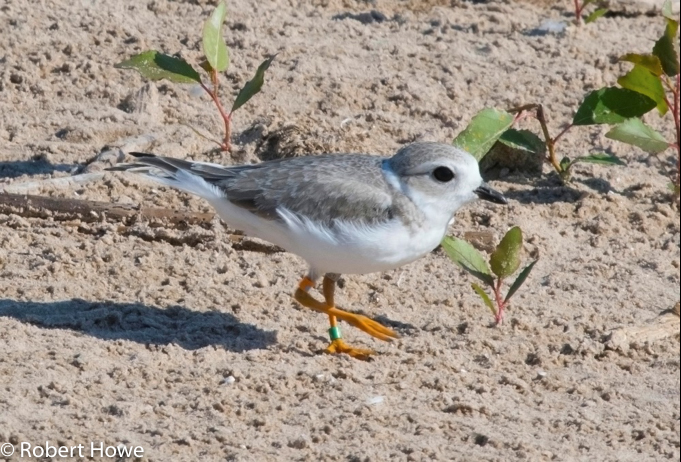
We've identified 22 priority populations based on sensitivity to toxins, economic importance, aquatic dependence and keystone species characteristics and more. Of these 22 species, 12 are officially listed as endangered or threatened, including the Piping Plover and rusty patched bumble bee. Without these important animals, ecosystem resiliency and quality decline. For each species group, we devised a method for measuring current and future conditions to ensure measurable action.
Explore Priority Populations
Significant improvements in fish and wildlife populations is possible through continued work of experts across our region.
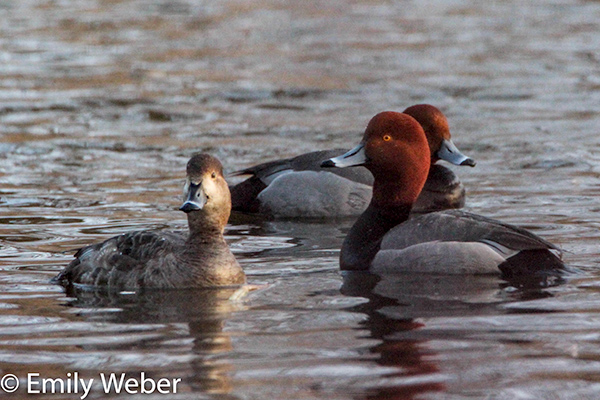
Birds
Birds play critical roles in the LGBFR AOC as pollinators, pest control, indicators of ecosystem health and food sources (through hunting).
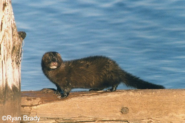
Mammals
As vital parts of the food web, both as predators and prey, mammals within the LGBFR AOC need to be protected.
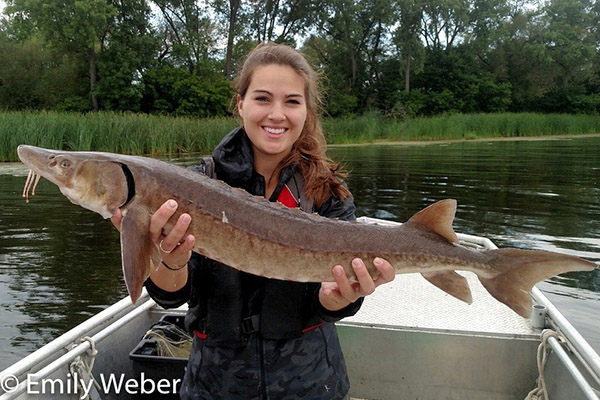
Fish
With economic, historic and environmental importance, fish are a well-known component to Wisconsin culture.
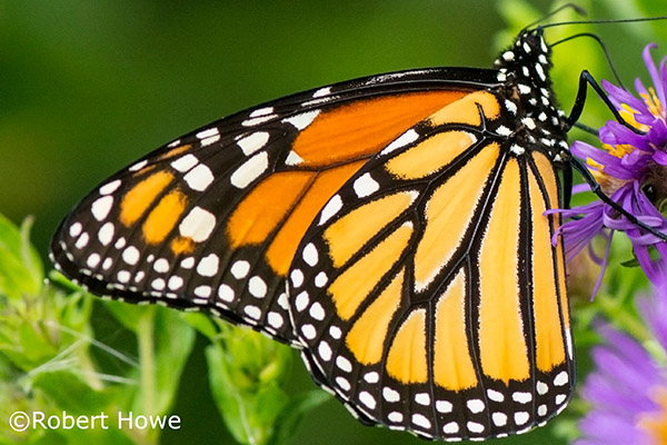
Invertebrates
Sometimes, the smallest animals are some of the most important to an area's ecosystem as pollinators and wildlife food sources. View what invertebrates call the LGBFR AOC home.
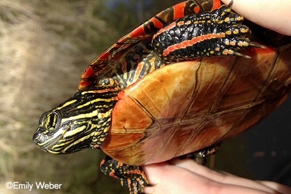
Anurans & Turtles
Anurans (frogs and toads) and turtles deserve additional attention in our restoration efforts as they can be useful indicators of aquatic ecosystem health.
Assess the Health of wildlife
Use a weighting system tool to determine the conditions of our local wildlife.
Our project team established a weighting system in order to identify priority populations that are most critical to the LGBFR AOC. Using this weighting system and the newly assessed conditions of each priority population, the tool then calculates a weighted average score ranging from 0 (maximally degraded) to 10 (minimally degraded) that describes the “health” or “ecological condition” of fish and wildlife. Improvements made to priority populations with higher weights will have a greater impact on overall condition. A weighted average is similar to a mathematical average, except that instead of treating each of the values equally, it allows some values to contribute more or less to the overall average than others.
Biota Database
In an effort to understand the extent of species within the LGBFR AOC, the UW-Green Bay project team created the LGBFR AOC Biota Database. Annotated lists of all known and expected species of vertebrates, vascular plants and invertebrates found within 1 km inland of the ordinary highwater mark of the boundary were compiled and organized into an easy-to-use, searchable database. Each record contains all relevant information pertaining to a single species (or in some cases just taxon) including:
- scientific and common names
- taxon group to which it belongs
- global, federal and state statuses
- project area (e.g., Peter’s Marsh) and region (e.g. West Shore) in which it was found
- data source
Sixty-nine different people, organizations, universities and agencies contributed data. In some cases, the UW-Green Bay project team contacted individual people requesting information or data that document species’ presence in the AOC, which were then incorporated into the database with permission. In other instances, the UW-Green Bay team compiled information from publicly available sources, such as scientific manuscripts, technical reports, websites and books. The project team also received information documenting fish and wildlife populations outside of the AOC project (e.g., northern bay of Green Bay) and are included in the database in case they may be useful for future studies.

Ask an Expert
Meet Erin Giese, Associate Director of the Cofrin Center for Biodiversity. She's President of the Northeastern Wisconsin Bird Alliance, principal investigator for the Great Lakes Coastal Wetland Monitoring Program and administrator of the annual CCB Student Grant Program. If you have questions, she can help!