Field Surveys
Better documentation and data of our habitats and wildlife throughout the LGBFR AOC means more informed scientists, researchers and community members to implement solutions to environmental problems.
Habitats
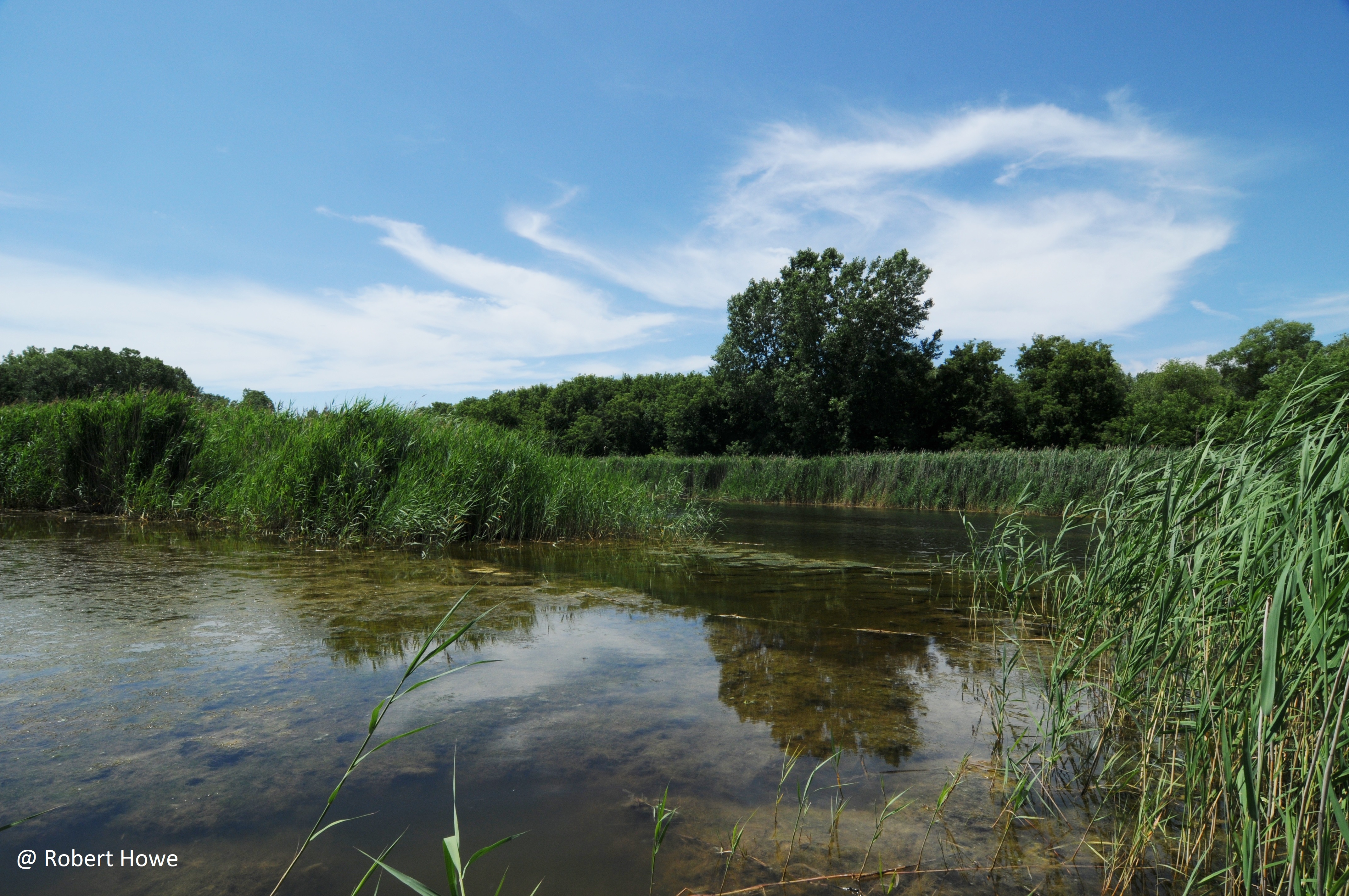
This habitat mapping effort in July 2015 that combined field surveys with the use of satellite imagery and other reference maps in order to identify and map the primary plant communities. Survey teams comprised of a botanist and trained UW-Green Bay students and staff ground-truthed different locations throughout the LGBFR AOC to classify habitat types. They used habitat types described in the Wisconsin Wildlife Action Plan, though some categories were slightly modified to account for highly degraded habitats found in the LGBFR AOC. Photographs of all dominant habitat types were also taken at all sites visited by field crews.
After the field work was completed, the information was digitized into an ArcGIS shapefile. First, an initial habitat classification used air photos and infrared imagery to distinguish residential and other highly urbanized or industrialized lands ("Developed") and cultivated land ("Agricultural") from all other categories. Then, the natural habitats were digitized using the data collected in the field habitat mapping effort.
Plant Biodiversity Hotspots
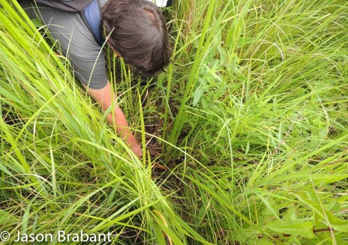
The 2015 habitat mapping effort generated a lot of information on plant communities throughout the LGBFR AOC; however, most field visits were short, and only the major habitat type and dominant plants were recorded at each location. Therefore, the UW-Green Bay team launched a second field effort in July 2016, in which they commissioned UW-Green Bay’s Gary A. Fewless Herbarium Curator, Dr. James Horn, to conduct more detailed plant surveys in high quality areas.
Horn described “plant biodiversity hotspots” that are generally of high quality (i.e., high native plant diversity) and also recorded comprehensive lists of plants that were present at each site that he and his team visited.
After visiting nearly all available habitat in the LGBFR AOC in 2015, Howe, Wolf and Giese gained a general sense of which areas contain (or potentially contain) high quality habitat that are worth protecting and restoring. The UW-Green Bay project team instructed Horn and two UW-Green Bay students to visit and catalog 27 of the higher quality “priority areas,” for which they wanted more detailed plant information.
Submerged Aquatic Plants
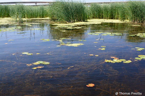
In July 2017, the project team launched a third field effort in which Dr. Amy Wolf and former UW-Green Bay Gary A. Fewless Herbarium Curator James Horn mapped and surveyed submerged aquatic vegetation (SAV) throughout the LGBFR AOC with the assistance of student field technicians via boat.
Plants that could be easily identified in the field were recorded on a data form, while others were collected and placed in labeled (location number and date) plastic zip-lock bags with water. Specimens were separated, identified and processed by Horn at the herbarium. SAV beds were later mapped in ArcGIS and added to the 2015 habitat shapefile.
SAV was widespread on the west shore extending from Duck Creek to Dead Horse Bay, but sparse and patchy on the east shore, except for Point au Sable. Several locations stand out as SAV “hotspots” in terms of species diversity, abundance and high-quality plants. These include Dead Horse Bay and Duck Creek on the west shore and Point au Sable on the east shore.
Birds
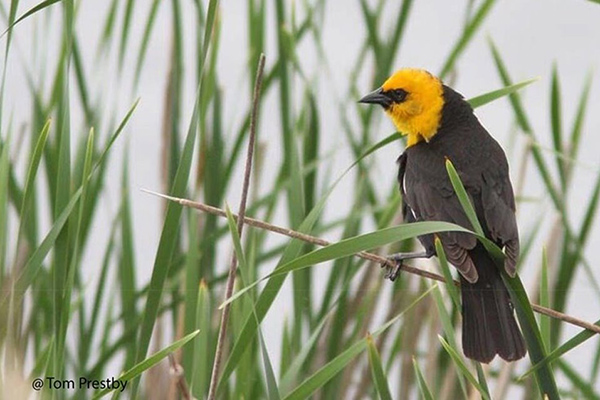
The UW-Green Bay project team conducted a series of bird surveys in 2015-16 where there were information gaps on birds based on habitat.
Open Wetland
Our team coordinated and conducted bird surveys in small and inland open wetlands that are dominated by herbaceous plants, and that were not surveyed by the Great Lakes Coastal Wetland Monitoring Program (CWMP).
Wetland birds were sampled in a 15-minute, unlimited-distance point count, in which trained observers recorded all birds seen or heard regardless of how far away an individual was calling from the observer. During the first 5 minutes, an observer passively listened and recorded all species and individuals; during the middle 5 minutes, a broadcast of secretive marsh bird calls was played to elicit vocalizations of target species; and finally during the last 5 minutes, an observer passively listened to all birds vocalizing. Point count locations were visited twice in the summer (May-July 2015-16), once in the early morning and once in the evening, in order to detect birds based on when they are most active. Visits were separated by at least 15 days.
Non-Open Wetland
In addition to wetland bird surveys, the project team conducted bird surveys in a variety of non-open wetland habitats in the LGBFR AOC. Trained UW-Green Bay students surveyed for birds in the summer of 2015 at 23 locations.
Birds were sampled following the methods outlined in Knutson et al. (2008). Trained observers conducted 10-minute, unlimited-distance point counts by recording all birds seen or heard regardless of how far away an individual was calling from the observer. Each point count location was visited one time in late June or early July 2015.
Waterfowl
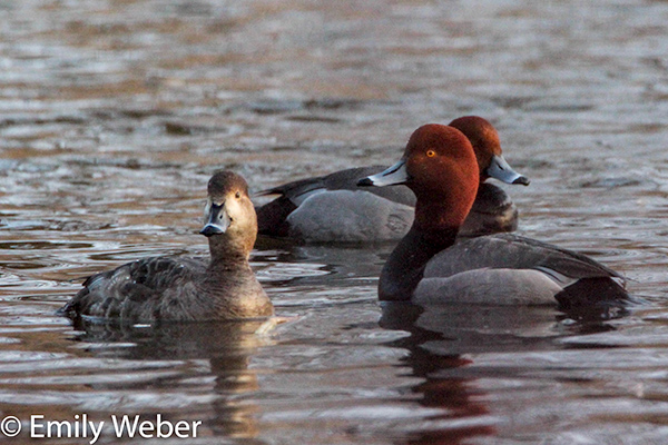
Migratory waterfowl comprise one of the most historically, culturally, and economically important elements of the Green Bay ecosystem, but we lack comprehensive research.
Therefore, Wolf, Howe and Giese developed and implemented a systematic, repeatable method for surveying migratory waterfowl in the LGBFR AOC from permanent ground survey points. Thomas Prestby conducted migratory waterfowl surveys during fall 2016, winter 2016-17 and spring 2017 migratory periods. They described waterfowl species composition and estimated seasonal numbers of individuals in the LGBFR AOC, described how waterfowl distributions change throughout each migratory period and across seasons, and compared data collected at ground survey points with aerial sampling.
Anurans
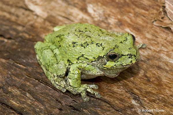
UW-Green Bay project team started to identify information gaps and determined that anurans (frogs/toads only) had only been surveyed in Great Lakes coastal wetlands within the LGBFR AOC through the Great Lakes Coastal Wetland Monitoring Program (CWMP). Small, inland wetlands within the LGBFR AOC, including areas along the Fox River, have not been recently surveyed for anurans using standardized methods and were excluded from the CWMP sampling regime due to strict sampling criteria. Under the guidance of Howe and Wolf, Giese and a student assistant conducted field scouting and identified 13 locations within the LGBFR AOC that trained UW-Green Bay students surveyed for anurans in the spring and summer of 2015.
Bats
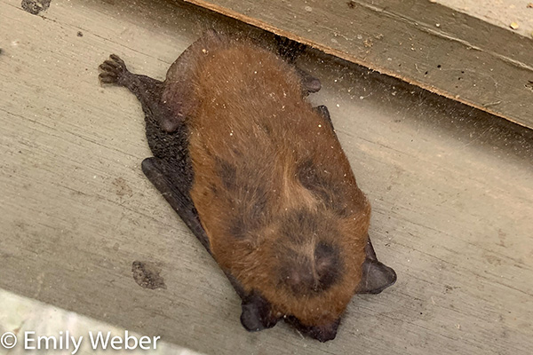
During the summer of 2016, UW-Green Bay undergraduate student Jeremiah Shrovnal conducted nocturnal acoustic bat surveys (using an Anabat Walkabout) near the shores of the LGBFR AOC. This area is potentially critical for both migratory and resident bats, and we need to better document bat usage and habitats. Results provided baseline information on bat abundance, species richness, and community composition within the LGBFR AOC. Bat sonograms were identified by frequency difference. Activity output was standardized by time and summarized based on transect. Bat locations were mapped using ArcMap.
Odonata
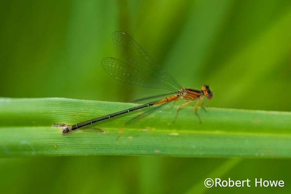
In 2016, UW-Green Bay graduate student, Willson Gaul, conducted Odonata (dragonflies and damselflies) surveys within the LGBFR AOC. From May through October 2016, Gaul repeatedly visited 8 study sites (East River Park, Ashwaubomay River Park, Longtail Point, Dead Horse Bay, Cofrin Memorial Arboretum, Cat Island Wave Barrier, Sensiba State Wildlife Area and Point au Sable Natural Area) and walked paired transects identifying each species found. All observations were submitted to the Wisconsin Odonata Survey. Difficult identifications were confirmed by sending photographs to DNR Odonata expert Bob DuBois. A total of 38 species were recorded within the LGBFR AOC. Observations for which species identification was uncertain were excluded.
Need More Information?
If you plan to use these data, please contact us to track data usage, properly cite work and ask questions if needed.