Data & Results
Inform & Reform
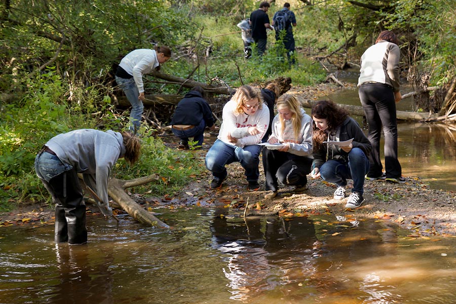
Data drives action.
Monitoring data allows us to compare streams, assessing their overall water quality and biological health. Pollution impacts on the individual streams can be identified, providing local and state agencies with the knowledge necessary to make land use and policy decisions that will clean up our streams, the Fox River and Green Bay.
Contribute Your Data
Your work helps local agencies make informed, data-driven decisions. Enter your data in our database.
Learn the Terms
Understanding outcomes first starts with understanding water science. View a list of terms to become familiar with the field.
See How We Collect Info
The way we monitor streams is continually checked to ensure we're gather high-quality, reliable data.
Quality Assurance and Control
To ensure data is accurate, UW-Green Bay enacts two quality control methods. The first is auditing. When student-teacher teams enter data to an online database and submit datasheets to the program coordinator, University staff audits collected data to ensure proper procedures, replications and calculations. Raw and audited data is available online for web-based query.
Students and teachers also can compare data and relate their results and activities to those of other student-teacher teams and broader university and agency projects. Students can compare, contrast and explore how parameters change with time and between watersheds because all data is collected in the same way, using the same equipment for each team and by prior students.

Ask an Expert
Ask Lynn Terrien, Outreach and Education Coordinator for the program. If you have questions, she can help!