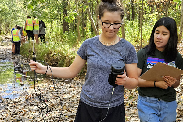
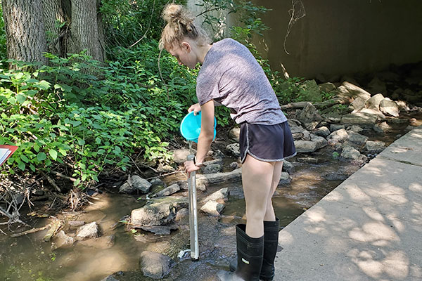
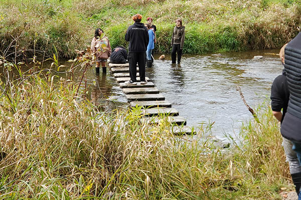
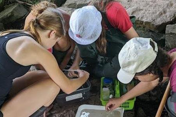
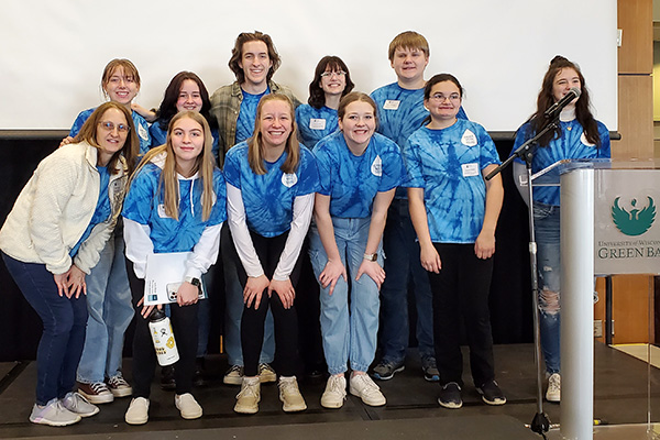
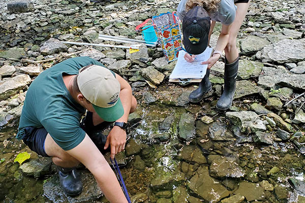
Teams
Apple Creek
Monitoring team: Appleton East
Lead: Ryan Marx
Locations monitored: USGS site & French Road bridge on the South Branch of the creek
Total watershed area: ~140 sq km, with 117 sq km upstream of the USGS monitoring location located at Apple Creek Campground
Apple Creek runs mostly through agricultural land, but also flows through a forested golf course and urban development before it flows into the Fox River near Wrightstown. Apple Creek is primarily dominated by agricultural land use, with some urbanizing areas in the headwaters.The French Road site was chosen to compare rural and urban land use impacts within the stream.
Ashwaubenon Creek
Monitoring team: West De Pere
Lead: Dana Lex
Locations monitored: USGS monitoring station located at Creamery Road
Total watershed area: ~76 sq km
Highlights: decreased salt application to streets in the winter
This watershed is uniquely poised along the Hwy 41 corridor and is influenced by a variety of land uses. Its headwaters lie in predominantly agricultural areas (both crops and large dairy farms), but those areas are quickly being converted into subdivisions and rural homes. The stream ends its journey by narrowly skirting the west side of De Pere's urban infrastructure and dumping into the Fox at Ashwaubamay Park.
Baird Creek
Monitoring team: Green Bay East
Leads: Eric Rintamaki & Tyler Nelson
Locations monitored: 56 km of drainage area between Superior Road and Northview and 43 square km of agricultural land upstream of Northview
Total watershed area: ~68 sq km
Highlights: data is being used to evaluate the success of buffer strips installed in the upper reaches of the creek as part of an EPA Great Lakes Restoration Initiative (GLRI) grant
Baird Creek originates from wetlands in mostly agricultural and rural areas, running eventually through suburban and urban developments on the east side of the city of Green Bay. Much of the urban parkway is now a city-owned conservancy managed by the city and the Baird Creek Preservation Foundation.
Duck Creek
Teachers and students from Green Bay Southwest High School have been monitoring Duck Creek since the start of the program in 2003. Green Bay West High School joined the monitoring efforts in 2019.
Monitoring team: Green Bay Southwest & Green Bay West
Leads: Stephanie Schlicht & Kayden Schultz
Locations monitored: County FF at USGS site & one mile upstream at the Overland Road bridge
Total watershed area: ~393 sq km, with 276 sq km of primarily agriculture use upstream of the USGS monitoring station located at County FF.
Duck Creek runs parallel to the Fox River to the west. Its headwaters are in agricultural land, traveling through Oneida tribal lands, two county parks (Brown County, upstream and Pamperin, downstream) and 3 golf courses. Eventually, it moves through major residential areas in Green Bay and Howard Suamico. Duck Creek empties to the northwest of the mouth of the Fox River.
Dutchman's Creek
Monitoring team: Notre Dame Academy
Lead: Molly Mattke
Locations monitored: Hanson Road/Nicolet Bank & Hidden Valley Park
Total watershed area: ~77.9 sq km with 53.9 sq km of farmland
Dutchman's Creek originates in rural agricultural lands in Outagamie County. The stream passes through increasingly higher density developments before it enters the Fox River at Cooke Park on Green Bay's west side.
Mahon Creek
Monitoring team: UW-Green Bay
Lead: Lynn Terrien
Total watershed area: 9.6 sq km
Mahon Creek runs through agricultural land, housing developments, the UW-Green Bay arboretum and empties into the bay of Green Bay. It's location on campus makes it easy to access for teacher workshops and classes on campus.
Neenah Slough
Monitoring team: Neenah High School
Lead: Nathaniel Blood
Locations monitored: Baldwin Park & Washington Park
Total watershed area: 59 sq km
The Neenah Slough flows north through agricultural land and into the city of Neenah before emptying into Little Lake Butte des Morts.
Pigeon River
Monitoring team: Etude High School
Lead: Rose Neumeyer
Locations monitored: Mill Road & Evergreen Park
Total watershed area: 204 sq km
The Pigeon River was included in the LFRWMP in 2021 to expand our program outside of the Lower Fox River Watershed. The Pigeon River is considered an estuary that empties into Lake Michigan.
Spring Brook
Monitoring team: Oshkosh Lourdes Academy
Lead: Carrie O'Connor
Locations monitored: 4th Street at Sportsmen Club & 9th Street
Spring Brook is the southernmost of the streams that are monitored in the program. It runs through mostly agricultural lands before flowing into Lake Butte de Morts in Winnebago County. Spring Brook was chosen to provide a comparison between streams in the Lower and Upper Fox River Basins. The creek drains an agricultural watershed, and empties into Lake Butte de Morts.
Waupaca River
Monitoring team: Weyauwega Fremont High School
Lead: Kyle Easter
Locations monitored: Presto Product site (behind school) & Hwy 54
Total watershed area: 292 sq km
The watershed has mixed land uses which are dominated by agriculture, forests and some wetlands.
Wequiock Creek
Monitoring team: Red Smith School
Lead: Sarah Valentine
Locations monitored: Park & Ride, Wequiock Falls, Nicolet Drive
Total watershed area: 35.8 sq km
Wequiock Creek flows through a mostly agricultural area. A large wetland, Point au Sable Natural Area, exists at the mouth of Wequiock Creek, before it empties into the bay of Green Bay. The Niagara Escarpment runs through the middle of this watershed creating Wequiock Falls.
Ask an Expert
Ask Lynn Terrien, Outreach and Education Coordinator for the program. If you have questions, she can help!